Calling all history buffs, Heritage BC is excited to announce the completion of its latest Cultural Map – The Industrial Heritage
Map.
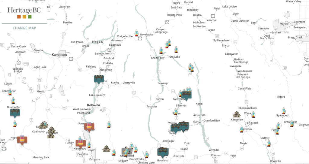
Based on community-submitted historic sites, the interactive map identifies and tells the story of 76 significant industrial sites across the province.
It is a resource that helps trace the historic industrial activities that profoundly impacted livelihoods, community growth, economy, and the environment of the province.
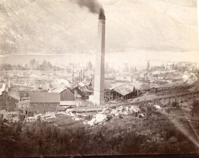
In the Kootenays, locations such as the Trail Creek Tramway, mining sites, factories and iconic sites are highlighted. See the map below.

Communities, organizations and individuals province-wide were encouraged to submit information on industrial heritage sites that played an important role in their community and/or the province.
Of the submissions Kirstin Clausen, Executive Director of Heritage BC shares “we were very happy with the support and enthusiasm we heard from across the province in the nomination process. The number and diversity of nominations clearly show the impact that industry has had on communities all over the province. Heritage BC thanks the Committee of industrial heritage advisors for their time to review the submitted sites.”
The submitted Industrial Heritage Map sites represent a wide diversity of industries. On the map they are divided into five categories: Commercial & Manufacturing, Power, Transport & Infrastructure, Food/Drink Production, Forestry, Pulp & Paper, and Non-renewable Resource Extraction & Processing.
Accompanying the map is a Historic Framework that offers context on the role and impacts of Industrial Heritage in the growth of the province.
You can access the Industrial Heritage Map at https://heritagebc.ca/cultural-maps/industrial-heritage-places.
Be the first to know! Don’t miss out on breaking news and daily updates in your area. Sign up to MyEastKootenayNow News Alerts.


