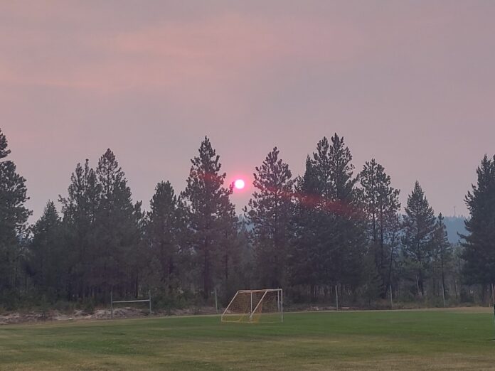
It was a hot and fiery weekend in the Kootenays, with several communities breaking historic temperature records on July 20 and 21.
According to data from Environment Canada, four temperature records were broken in the region on Saturday, and five were broken on Sunday.
The Trail area was the hottest both days, reaching 39.2°C on Saturday and 41.4°C on Sunday, surpassing temperature records set in 1979 and 1994.
Environment Canada meteorologist Armel Castellan said that Sunday was the sixth warmest day on record for Trail ever.
“This is a significant event, not only for these numbers but also for the duration. This weather system has really been lasting since around the 10th of July, right through till now, which is a pretty long-standing event.”
The four other Kootenay communities that also broke or tied their hottest days in history on Sunday include Creston, Cranbrook, Nelson, and Sparwood.
Like Trail, Cranbrook and Sparwood broke records both days.
Cranbrook reached 36.7°C on Saturday, breaking its 1979 record of 35.9°C, and 37.4°C on Sunday, surpassing its 1985 record of 36.6°C.
The Sparwood area saw temperatures reach 34.8°C on Saturday and 34.5°C on Sunday, breaking records set in 1979.
Nelson broke its 1994 record on Sunday when it reached 39.8°C, and Creston tied its 1931 record on Saturday when it reached 37.2°C.
Unfavourable conditions continue
Kootenay residents won’t feel much relief from the heat soon, with Castellan stating that temperatures should wane slightly in the next few days, but not dramatically.
“It’s not going to be dramatic. I’m talking about it getting up to 32–34 degrees on Tuesday and Wednesday and then starting to lower particularly on Thursday and Friday before maybe bumping up a couple of degrees. We’re looking at getting into the high 20s for Thursday and Friday and then back up to closer to 30 degrees for the weekend.”
He said precipitation is unlikely over the next couple of days, with the forecast calling for wind gusts of up to 80 km/h for the Cranbrook area, along with thunderstorm activity and a bit of hail.
In central Kootenay, the forecast is predicting winds of up to 70 km/h, along with thunderstorms and hail, providing some relief to the region’s active wildfires, but not much.
“Generally speaking, I would say the overall trend is that temperatures will be coming down, particularly Thursday and Friday, then bouncing up a little bit, but not as much as what we’ve seen here for the last 10–12 days.”
He said by the end of July, the forecast is calling for slight, below-average temperatures, which is fortunate for the region’s wildfire situation.
Several fires have sparked up throughout the Kootenays, forcing evacuation orders and alerts in many communities.
Castellan said while the Kootenays were lucky to see a fair amount of precipitation in May and June, the wildfire situation the region is facing now could get worse fast if humans don’t do their part.
“Now that we’ve had this big event, it’s cured a lot of the fuels and it’s obviously started up some of the fires in the Kootenays, which transpired as a result of this heat.
We have to remain extremely vigilant. We have dry lightning potential that can exacerbate and start new wildfires, but we also have humans. We have to be really careful and make sure that we’re focused and trying to be as resilient as possible.”
Be the first to know! Don’t miss out on breaking news and daily updates in your area. Sign up to MyEastKootenayNow News Alerts.


