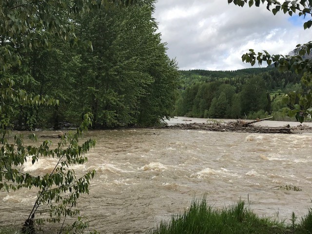
A flood watch is active across the East Kootenay, as warm temperatures and expected rain are causing water levels to rise.
According to the BC River Forecast Centre, daily temperatures will reach the upper 20s to low 30s through Thursday.
“Flows primarily due to accelerated snowmelt are forecast to reach the 2-year to 10-year range in noted areas by Friday,” said the BC River Forecast Centre.
“Additional rises (20-year to 100-year flows or higher, e.g. similar to 2018 peak flows) are possible on Saturday and Sunday, depending on precipitation amounts later this week.”
Officials said the heat will likely be followed by rain in Friday, but they are not exactly sure where or how hard it will come down.
“There is currently uncertainty on the location and severity of potential rainfall late in the week, with current forecasting indicating the potential for significant amounts of precipitation (30 60mm) in areas,” said the BC River Forecast Centre.
Rivers have already been rising throughout the region, with daily snow melt rates ranging between 20 to 40 millimetres.
Officials said this rate will likely increase significantly as temperatures continue to rise this week.
“On-going rises in rivers are expected across the region due to hot temperatures this week, with increasing potential for flood hazard in other rivers over the coming days,” said officials. “The potential for heavier precipitation on Friday and Saturday could lead to a period of significant flood hazard through the region late this week.”
This will impact a number of areas, including the Kettle River, Granby River, Moyie River, Salmo River and similar rivers and tributaries.
Officials said you should stay clear of potentially unstable riverbanks and fast-flowing water.
They also recommend avoiding fishing, swimming, boating or hiking near high-streamflow rivers or streams.
You can check river conditions through the link below.
More: Flood Warning and Advisory Notifications (BC River Forecast Centre)


