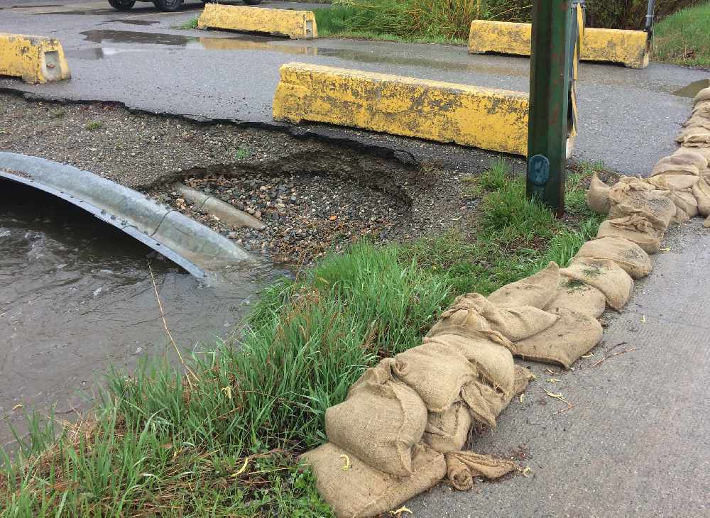
The City of Cranbrook will receive more federal funding to help it continue its planning and preparation for any future major flooding events.
Mike Matejka, City of Cranbrook Manager of Infrastructure Planning and Delivery told MyEastKootenayNow.com that the $100,000 grant will build upon the city’s Flood Risk Assessment Project to improve and upgrade its flood mapping.
“What this is going to do is help provide some mapping of what the projected flood plain would be, that also includes the depth of water and flow velocity of water in various low-lying areas around the town,” explained Matejka. “We can make better land-use decisions and we can better plan for any flood mitigation or improvement of existing infrastructure or creek channels”.
Matejka said the grant funding is a major investment over several years into flood mitigation and stormwater management that will have the City of Cranbrook look at large flooding events.
“When it comes to any significant works on any creeks or any pipes or infrastructure, the general standard is looking at a ‘one in 200 year’ flow event, that would be some of the standards that we would be looking for if we do have to conduct any channel capacity upgrades or berming or diking or any upgrades to any of the piped infrastructure that does carry creek or major stormflow through town.”
A flood plain identifies the boundaries of a potential flood event and can be used to help identify the specific impacts of any future flooding would have on residents, buildings or other assets.
Current flood-related projects to be completed this year includes the Storm Sewer Trunk Main upgrade on Kootenay Street, as well as multiple creek flow monitoring stations.
A major channel upgrade project on Joseph Creek at 15th Avenue and 1st Street South is also in the final planning stages with the City of Cranbrook hoping to receive federal approval for that project in 2020.


